
Services
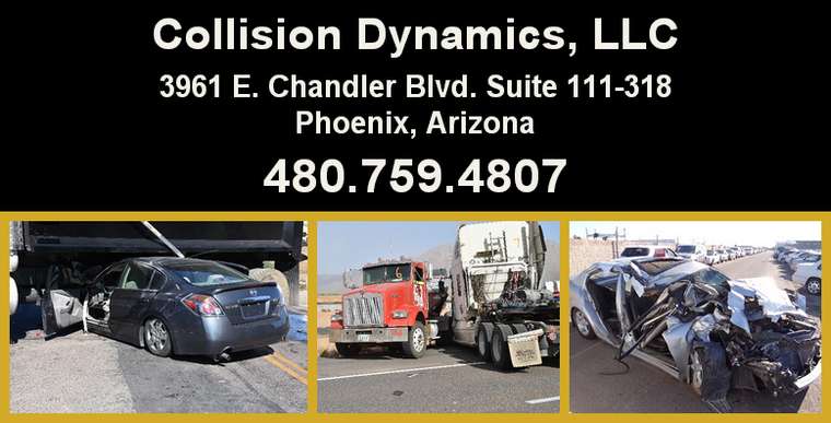
Collision Dynamics, LLC can assist in the following areas of accident investigation and reconstruction:
- Pedestrian & Bicycles
- Motorcycles
- Passenger Vehicles
- Heavy Trucks
- Rapid Response
- Crush Analysis
- Scene Mapping
- Seatbelt Usage
- Airbag Deployment
- Crash Data Retrieval
- Crash Simulations
- Photogrammetry
- Weather & Roadway Issues
- Lamp Examination
Rapid Response
Collision Dynamics, LLC is equipped to respond to active scenes when it is important to be on the scene to collect valuable physical evidence before it disappears. Drone mapping is used to capture important physical evidence that might be overlooked by the local law enforcement agency and to gather physical evidence in a precise manner.

Scene Mapping
Drone technology is used to create orthomosaic images of the geo referenced photographs taken with the Drone camera. These images can then be incorporated into a 3D CAD computer program to precisely represent the roadway and surrounding area where the collision occurred.
Crush Analysis
Drone technology can also be used to take detailed overhead photographs of the damage sustained by a vehicle during a collision. That damage can then be measured in a CAD computer program and the measurements incorporated into a crush or force balance analysis.

Crash Data Retrieval
Modern passenger cars and pickup trucks are equipped with a variety of safety sensors that determine the severity of an accident to deploy or not deploy the vehicle’s head airbags, side-mounted airbags, side air curtain airbags and/or seatbelt pretensioners. The information to the decision to deploy in a deployment event and in many non-deployment events is recorded in the onboard Airbag Control Module (ACM). That information can be imaged using the Bosch/Vetronix Crash Data Retrieval Kit. Early ACM images contained limited information such as engine rpm, vehicle speed, throttle position, seatbelt usage and brake light status. As vehicles continue to evolve so does the technically. Newer vehicles record additional information such as roll rate, longitudinal and lateral deltaV, accelerations, crash pulse and many others. For a list of supported vehicles click on the link supported vehicles.

All Rights Reserved. Copyright: Collision Dynamics, LLC


